Click the map to read it up close
1819
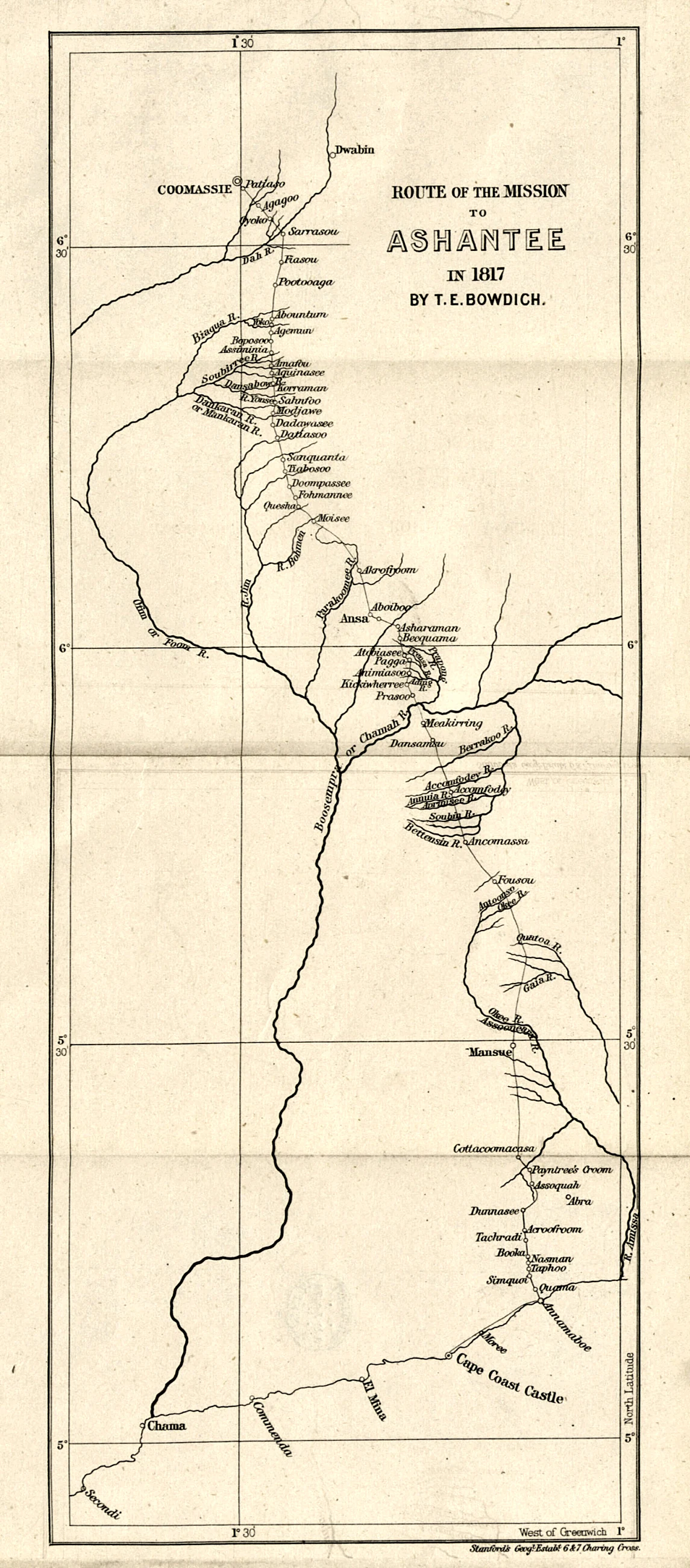
Map of the Asante region from T. E. Bowdich's 'Mission from Cape Coast Castle to Ashantee' (1819), British Library scan
Period depiction
A drawing or engraving of its time. It shows how the artist, usually a visitor or someone working from a visitor’s sketch, chose to picture what he saw. It is evidence of that view, not a photograph.
About this picture
Content identified from the Commons categories (Maps of the Ashanti Region), not from a written description.