c. 1750 - 1820
How large was the empire?
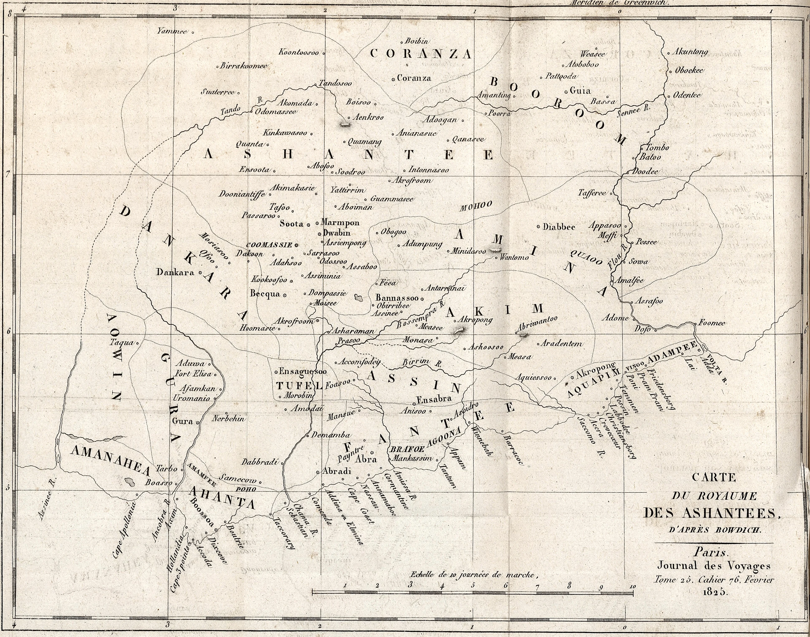
By the death of Opoku Ware in 1750 Asante's authority reached from the Gonja and Dagomba savanna to the coast at Accra, and from Gyaman in the west towards the Volta in the east. Figures for its size are estimates and depend on what is counted. Bowdich in 1817 distinguished 'Ashantee proper', which he put at no more than 14,000 square miles, from the tributaries around it. Counting the fighting men each district was said to supply, he reached 204,000, and by assuming soldiers were a fifth of the people he arrived at about one million inhabitants for the core. Old residents of the coast told him the disposable force exceeded 150,000. Dupuis described the empire as lying between about six and nine degrees north and reaching the Volta, and spoke of forty-seven tribes and nations under the king. A modern figure often quoted, from Obeng (1996), is more than 250,000 square kilometres and some three million people for greater Asante in the nineteenth century. At least twenty-one tributary states are counted by 1819. None of these numbers rests on a census.
Population: about 1 million for the core (Bowdich 1819) against 3 to 4 million for the whole empire (Obeng 1996, as cited). Army: 204,000 (Bowdich's theoretical total), over 150,000 (coast residents), 80,000 (an 1820 British estimate), 200,000 (popular figure).
Key facts
- Bowdich estimated Asante proper at 14,000 square miles and about one million people.
- He counted a potential military force of 204,000.
- A modern estimate gives greater Asante over 250,000 sq km and about 3 million people.