Click the map to read it up close
1818-1829
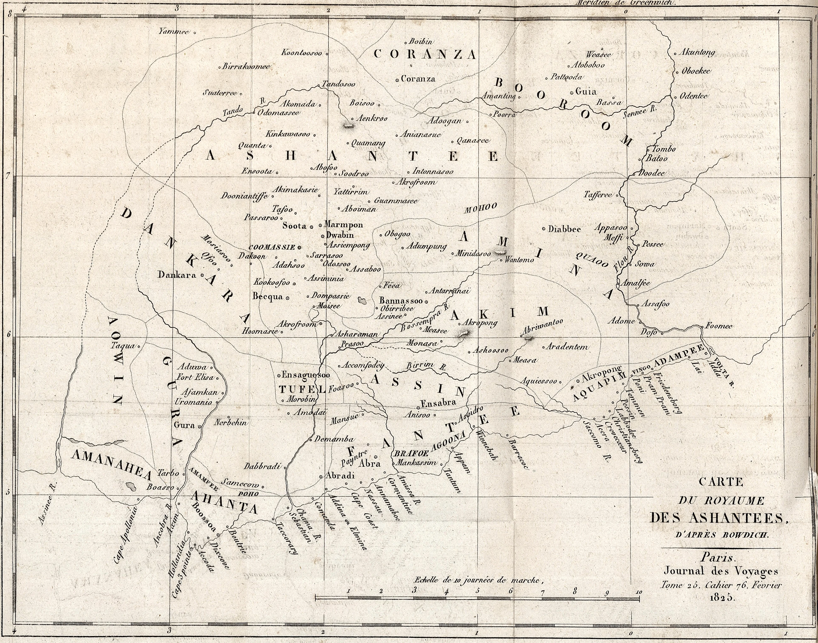
French map of the kingdom of Asante ('Carte du Royaume des Ashantees') from the Journal des voyages, 1820s, after Bowdich
Period depiction
A drawing or engraving of its time. It shows how the artist, usually a visitor or someone working from a visitor’s sketch, chose to picture what he saw. It is evidence of that view, not a photograph.
About this picture
Scan by the Universite de Caen Normandie; no known copyright restrictions. Date on the file is the scan date.